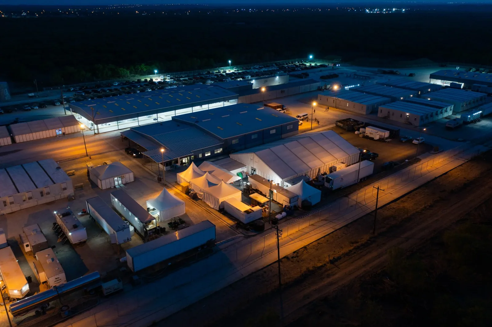
Drone Roof Inspection
Aerial images help an owner see broad roof patterns before a crew reaches each detail. In League City, a drone survey can document large, separated roof sections, but it cannot confirm wet insulation, attachment, or a hidden seam failure. We plan the capture area, identify visible concerns, and mark where close inspection is still required. NASA Johnson Space Center occupies 1,620 acres in Clear Lake and supports aerospace research and operations. For any roof in the region, we document only the building and conditions included in the authorized survey.
Capture the roof in a useful sequence
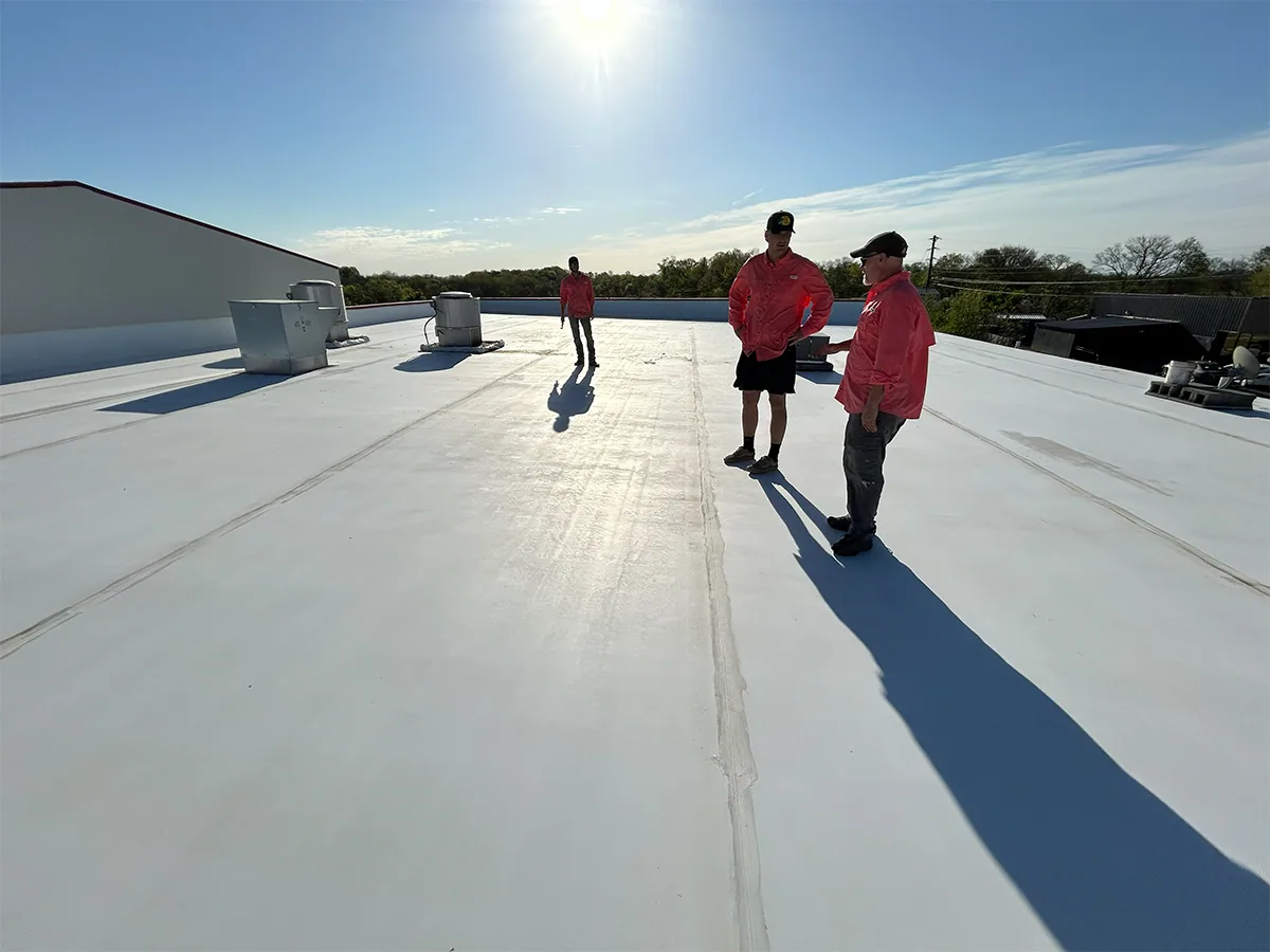
Before flight, we confirm the property boundary, operating hours, people and vehicle movement, obstacles, and any site or airspace restrictions. The capture plan covers each visible roof plane with enough overlap to orient a photograph to the building. We also identify parapets, rooftop equipment, skylights, drains, and transitions that need closer views. This sequence creates a record the owner can compare with a roof plan rather than a folder of unlocated images.
NASA Bypass Business Park is at NASA Parkway and NASA Road 1 Bypass in Webster. For any nearby project, traffic, adjacent operations, and property boundaries shape where equipment or observers can safely stand. We coordinate with the actual property contact and document the agreed capture limits before the drone is deployed. Each site receives its own flight plan and image labels.
Coordinate flight access with site operations
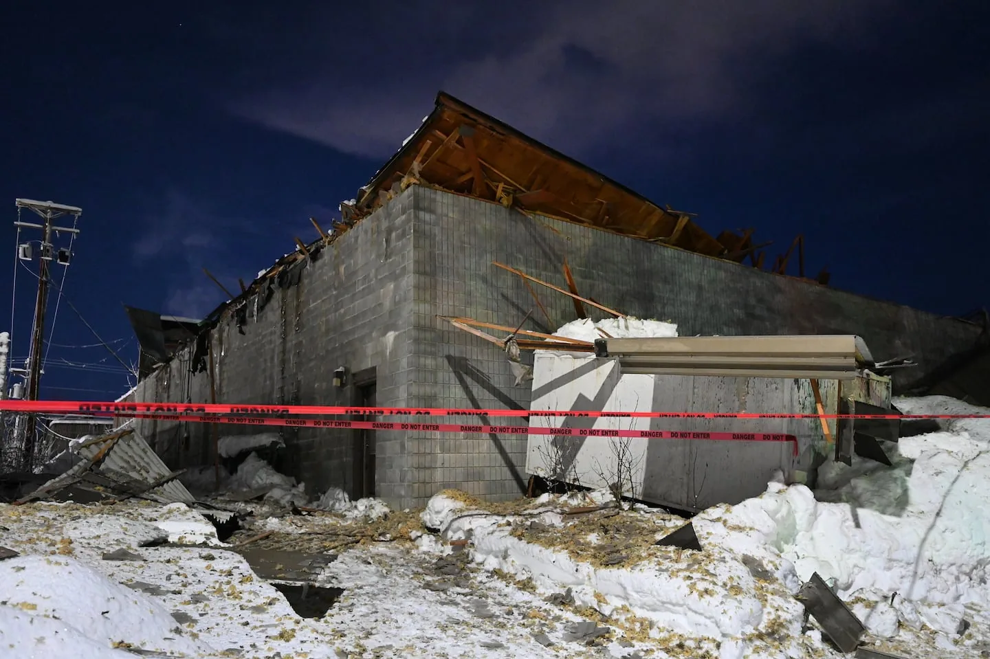
Flight timing must fit the property’s activity, weather, safe launch area, and applicable operating restrictions. We identify the launch point, required clearances, nearby overhead hazards, and a person who can pause the capture if a delivery or public route enters the work area. If the project is close to an active aviation or government facility, the site contact helps determine whether additional coordination is required. The images are collected only within the approved operating area and window.
League City lies on I-45 between Houston and Galveston and has commercial connections to ports and regional transport facilities. That corridor context can bring active traffic and busy neighboring sites, which makes staging and observer placement part of the job plan. We do not assume that a building’s location grants airspace access or permission to launch. The owner receives a record of the areas captured and any section that could not be imaged.
Interpret images without overreading them
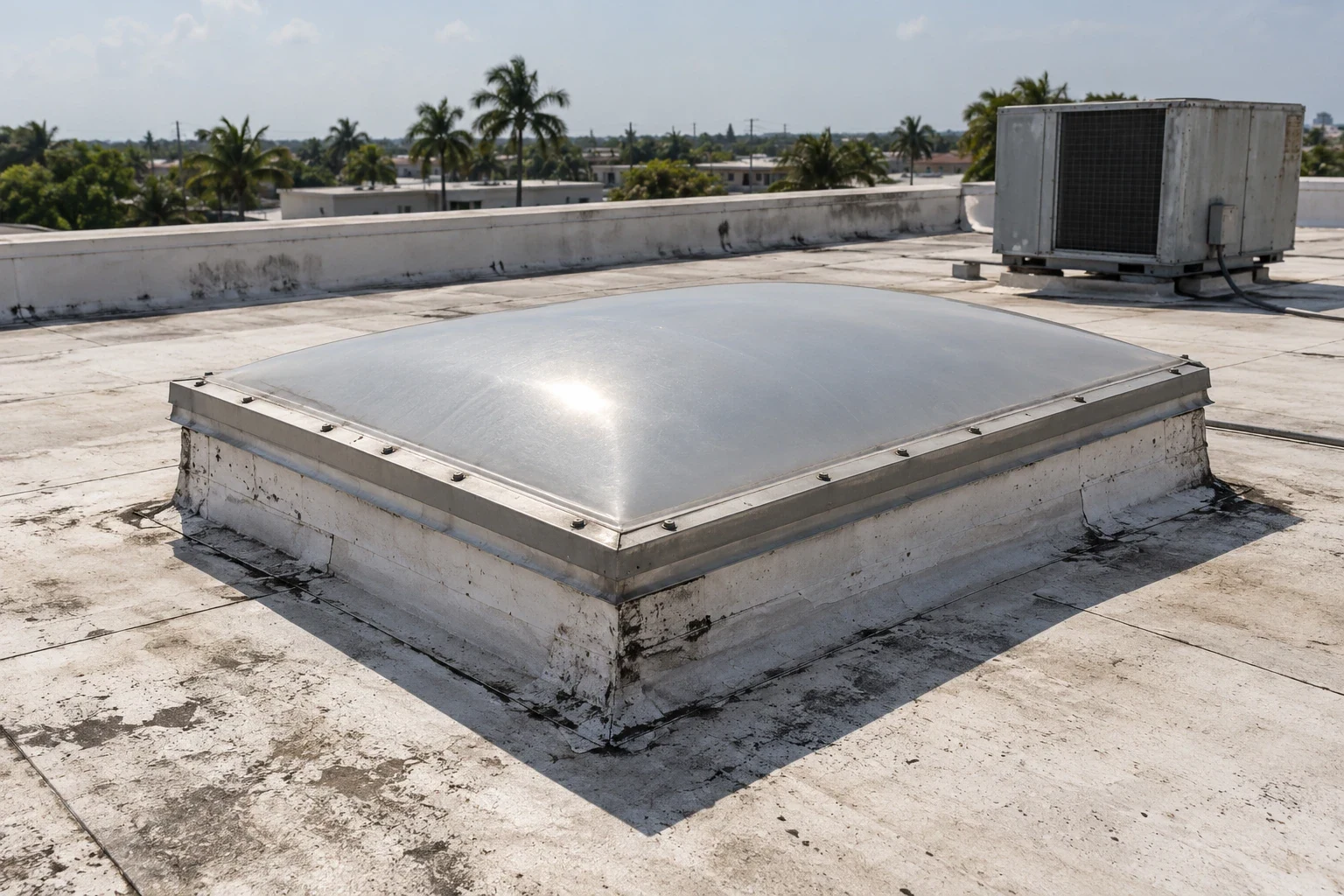
Drone views can reveal broad ponding, debris accumulation, displaced panels, visible punctures, missing accessories, and surface differences that merit a closer look. A photograph cannot confirm that insulation is wet or that a membrane remains securely attached beneath a lap. We label visible observations as such and identify the roof zone, camera angle, date, and image reference. Any suspected condition that could change repair quantity receives a field check before it enters a measured scope.
League City’s 2004 severe storm produced golf-ball-size hail, damaging winds, and an F0 tornado, while Hurricane Beryl brought reported gusts up to 52 mph in 2024. Those facts help explain the value of dated roof imagery after a reported event; they do not prove damage at the surveyed address. We compare current images with available pre-event records when supplied, and mark what changed only when the images support that finding. A wind inspection or hail assessment can then test the visible concern in person.
Pair aerial coverage with hands-on inspection
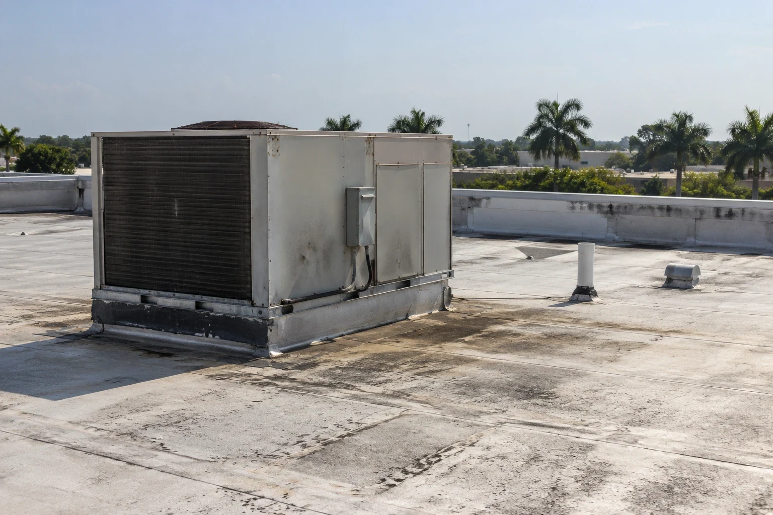
Hands-on access remains necessary at seams, flashings, drains, curbs, penetrations, and areas where material must be probed or opened. A commercial roof inspection can use the aerial record to guide the crew to the right section and capture close detail. If broad roof area is visible from above but one corner sits behind equipment or parapet, the report identifies the missing view rather than treating the image set as complete.
Where the images suggest moisture, an infrared moisture survey can guide selected testing after safe access is confirmed. A core cut verifies insulation at a point; a roof walk assesses the surface and details. Neither tool should be represented as answering questions beyond its method. We combine the evidence into one zone map so the owner can separate a visual concern from a confirmed repair quantity.
Deliver images tied to a roof-zone map
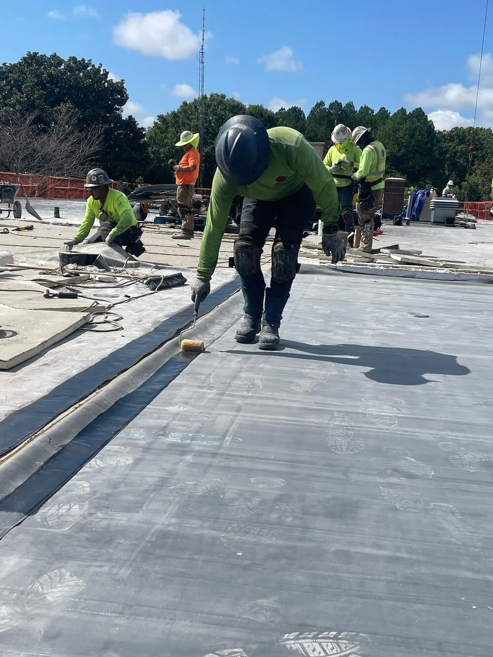
The owner receives dated photographs with orientation, labels, and a roof-zone reference. We identify any area not captured, such as a low angle blocked by equipment, an inaccessible elevation, or a portion outside the approved flight area. A condition report can pair the images with hands-on findings, open questions, and next steps. Clear labels make the file useful to a property manager who was not present during capture.
If the survey follows work or a weather event, the record can show the visible roof surface at that point in time. It does not establish concealed moisture, code compliance, structural capacity, or a warranty condition. We state those limits plainly and identify the inspection needed to answer the owner’s next question. When images reveal a repair candidate, the repair proposal uses verified dimensions and compatible material details rather than estimating from an aerial view alone.
Plan the visit around the building and budget
Cost and timing depend on roof area, number of elevations, image detail, site access, flight restrictions, weather, and whether a hands-on visit is included. We state the capture coverage, image deliverable, access assumptions, and additional inspection needs before scheduling. For a large property portfolio, the multi-site survey plan can align naming and zone references across addresses while keeping each building’s findings separate.
Send the League City address, roof plan, concern or event date, site contact, preferred access window, and any known flight restrictions. We will define the capture boundary, coordinate safe staging, and identify where a hands-on inspection must follow. At a medical, retail, or research property, the operating contact can help align the flight with deliveries, patient access, or other active routes without assuming those conditions from the property name alone.
Frequently Asked Questions
Can a drone confirm whether insulation is wet?
No. Aerial images show visible surface conditions and patterns, not moisture inside the roof assembly. Infrared readings and selected core cuts answer different questions after safe access is approved.
Can drone imaging replace a hands-on roof inspection?
It can extend visual coverage where direct access is difficult, but seams, flashings, attachment, and concealed conditions still need appropriate field checks. We identify those follow-up areas in the report.
What if part of the building cannot be captured?
The image set lists the area and reason it was missed, such as an access restriction, obstacle, weather, or approved flight boundary. We do not extend conclusions to an unseen section.
Can the images be used after a storm?
Yes, they can preserve dated views of visible roof conditions. A before-and-after comparison is useful only when the images show the same areas and conditions clearly.
What should be ready before the drone visit?
Provide the address, roof plan, access contact, preferred window, known restrictions, and reason for the survey. We coordinate the capture boundary and identify any hands-on work needed afterward.